

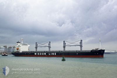
BUNUN QUEEN
Cargo

Current Trip
BR PIA
| Time Travelled | 40 days |
|---|---|
| Remaining Time | --- |
| Distance Travelled | 5476.73 nm |
| Remaining Distance | --- |
| AVG Speed | 10.6 Knots |
| MAX Speed | 15 Knots |
| AVG Wind | 11.6 knots |
| MAX Wind | 30.7 knots |
| MIN Temp | 13.8°C / 56.84°F |
| MAX Temp | 32.1°C / 89.78°F |
| Dybgang | 9.8 m |
| Position Modtaget | 5 d siden |
Current Position
| Longitude | 102.10987° |
|---|---|
| Latitude | 2.08160° |
| Status | Under way using engine |
| Fart | 11.4 Knots |
| Kurs | 311.1° |
| Område | Malacca Strait |
| Station | T-AIS |
| Position Modtaget | 5 d siden |
Information
The current position of BUNUN QUEEN is in Malacca Strait with coordinates 2.08160° / 102.10987° as reported on 2025-06-03 04:25 by AIS to our vessel tracker app. The vessel's current speed is 11.4 Knots
The vessel BUNUN QUEEN (IMO: 9912438, MMSI: 636021319) is a Cargo It's sailing under the flag of [LR] Liberia.
In this page you can find informations about the vessels current position, last detected port calls, and current voyage information. If the vessels is not in coverage by AIS you will find the latest position.
The current position of BUNUN QUEEN is detected by our AIS receivers and we are not responsible for the reliability of the data. The last position was recorded while the vessel was in Coverage by the Ais receivers of our vessel tracking app.
The current draught of BUNUN QUEEN as reported by AIS is 9.8 meters
Weather
| Temperature | 28.2°C / 82.76°F |
|---|---|
| Wind Speed | 11 knots |
| Direction | 212° SSW |
| Pressure | 1012.5 hPa |
| Humidity | 75.1 % |
| Cloud Coverage | 100 % |


Featured Company
Most Visited Ports (Last year)
| Port | Arrivals | |
|---|---|---|
| 2 | ||
| 2 | ||
| 2 | ||
| 1 | ||
| 1 | ||
| 1 |
Events
| Tid | Hændelsen | Detaljer | Position / Dest | Info |
|---|---|---|---|---|
| 2025-06-03 04:30 | Status er ændret | Default Under way using engine |
2.09369 / 102.09650
BR PIA
|
Fart: 11.4 kn Kurs: 311.1° |
| 2025-06-03 04:25 | Udenfor Dækning |
2.08160 / 102.10987
Malacca Strait
|
Fart: 11.4 kn Kurs: 311.1° |
|
| 2025-06-03 03:44 | Fundet i havområde | Malaysian part of the Malacca Strait |
1.99588 / 102.20921
Malacca Strait
|
Fart: 11.9 kn Kurs: 309.1° |
| 2025-06-03 03:44 | Status er ændret | Under way using engine Default |
1.99588 / 102.20921
BR PIA
|
Fart: 11.9 kn Kurs: 311° |
| 2025-06-03 03:44 | Indenfor Dækning |
1.99588 / 102.20921
Malacca Strait
|
Fart: 11.9 kn Kurs: 309.1° |
|
| 2025-06-02 19:58 | Status er ændret | Default Under way using engine |
1.20138 / 103.56190
BR PIA
|
Fart: 12 kn Kurs: 280.9° |
| 2025-06-02 19:51 | Ændre havområde | Malaysian part of the Singapore Strait Indonesian part of the Singapore Strait |
1.19647 / 103.58643
Singapore Strait
|
Fart: 12 kn Kurs: 280.9° |
| 2025-06-02 19:51 | Udenfor Dækning |
1.19647 / 103.58643
Singapore Strait
|
Fart: 12 kn Kurs: 280.9° |
|
| 2025-06-02 19:50 | Status er ændret | Under way using engine Default |
1.19613 / 103.58832
BR PIA
|
Fart: 11.6 kn Kurs: 279° |
| 2025-06-02 19:43 | Status er ændret | Default Under way using engine |
1.19202 / 103.61320
BR PIA
|
Fart: 11.6 kn Kurs: 282.4° |