
DON JUAN
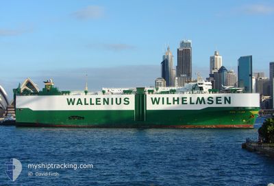
Vehicles Carrier
Current Trip
| Time Travelled | 13 days |
|---|---|
| Remaining Time | --- |
| Distance Travelled | 5001.05 nm |
| Remaining Distance | --- |
| AVG Speed | 14.6 Noeuds |
| MAX Speed | 19.4 Noeuds |
| AVG Wind | 13 knots |
| MAX Wind | 31.8 knots |
| MIN Temp | 2.3°C / 36.14°F |
| MAX Temp | 18.6°C / 65.48°F |
| Tirant d eau | 8 m |
| Position reçue | 14 h, 50 m depuis |
Current Position
| Longitude | 139.76404° |
|---|---|
| Latitude | 41.06315° |
| Etat | Under way using engine |
| Vitesse | 17.2 Noeuds |
| Parcours | 234.4° |
| Zone | Japan Sea |
| Station | T-AIS |
| Position reçue | 14 h, 50 m depuis |
Information
The current position of DON JUAN is in Japan Sea with coordinates 41.06315° / 139.76404° as reported on 2025-06-01 18:48 by AIS to our vessel tracker app. The vessel's current speed is 17.2 Noeuds and is heading at the port of SHANGHAI. The estimated time of arrival as calculated by MyShipTracking vessel tracking app is 2025-06-04 21:00 LT
The vessel DON JUAN (IMO: 9082934, MMSI: 257226000) is a Vehicles Carrier that was built in 1995 ( 30 Age ). It's sailing under the flag of [NO] Norway.
In this page you can find informations about the vessels current position, last detected port calls, and current voyage information. If the vessels is not in coverage by AIS you will find the latest position.
The current position of DON JUAN is detected by our AIS receivers and we are not responsible for the reliability of the data. The last position was recorded while the vessel was in Coverage by the Ais receivers of our vessel tracking app.
The current draught of DON JUAN as reported by AIS is 8 meters
Weather
| Temperature | 16°C / 60.8°F |
|---|---|
| Wind Speed | 4 knots |
| Direction | 106° ESE |
| Pressure | 1004.6 hPa |
| Humidity | 84 % |
| Cloud Coverage | 100 % |
Featured Company
Last Trips
Events
| Heure | Evenement | Détails | Position/ Destination | Info |
|---|---|---|---|---|
| 2025-06-01 18:53 | Etat Changé | Default Under way using engine |
41.05009 / 139.73763
CN SHG
|
Vitesse: 17.2 kn Parcours: 234.4° |
| 2025-06-01 18:48 | Hors de la zone couverte |
41.06315 / 139.76404
Japan Sea
CN SHG
|
Vitesse: 17.2 kn Parcours: 234.4° |
|
| 2025-06-01 18:18 | Etat Changé | Under way using engine Default |
41.14583 / 139.92006
CN SHG
|
Vitesse: 16.8 kn Parcours: 234° |
| 2025-06-01 18:14 | Etat Changé | Default Under way using engine |
41.15511 / 139.93736
CN SHG
|
Vitesse: 16.7 kn Parcours: 233.3° |
| 2025-06-01 18:01 | Etat Changé | Under way using engine Default |
41.19096 / 140.00270
CN SHG
|
Vitesse: 16.5 kn Parcours: 232° |
| 2025-06-01 17:58 | Etat Changé | Default Under way using engine |
41.19964 / 140.01828
CN SHG
|
Vitesse: 16.9 kn Parcours: 233.8° |
| 2025-06-01 17:45 | Etat Changé | Under way using engine Default |
41.23639 / 140.08353
CN SHG
|
Vitesse: 16.2 kn Parcours: 232° |
| 2025-06-01 17:42 | Etat Changé | Default Under way using engine |
41.24209 / 140.09354
CN SHG
|
Vitesse: 16.4 kn Parcours: 229.3° |
| 2025-06-01 17:34 | Etat Changé | Under way using engine Default |
41.26644 / 140.13492
CN SHG
|
Vitesse: 16.5 kn Parcours: 235° |
| 2025-06-01 17:30 | Etat Changé | Default Under way using engine |
41.27652 / 140.15207
CN SHG
|
Vitesse: 16.2 kn Parcours: 233.7° |