

DONG YAO HAI TAI
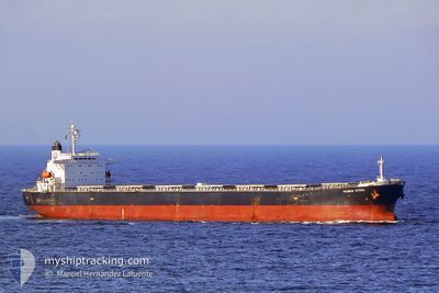
Bulk Carrier

Current Trip
BA YU QUAN
| Time Travelled | 5 days |
|---|---|
| Remaining Time | --- |
| Distance Travelled | 1371.63 морская миля |
| Remaining Distance | --- |
| AVG Speed | 10.1 Узлы |
| MAX Speed | 11.8 Узлы |
| AVG Wind | 10.4 knots |
| MAX Wind | 31.8 knots |
| MIN Temp | 16.1°C / 60.98°F |
| MAX Temp | 28.8°C / 83.84°F |
| Осадка | 7 м |
| Позиция Получена | 16 d тому назад |
Current Position
| Долгота | 113.99615° |
|---|---|
| Широта | 22.12743° |
| Статус | Under way using engine |
| Скорость | 12.9 Узлы |
| Курс | 94° |
| Район | South China Sea |
| Станция | T-AIS |
| Позиция Получена | 16 d тому назад |
Information
The current position of DONG YAO HAI TAI is in South China Sea with coordinates 22.12743° / 113.99615° as reported on 2025-05-26 03:09 by AIS to our vessel tracker app. The vessel's current speed is 12.9 Узлы
The vessel DONG YAO HAI TAI (IMO: 9195327, MMSI: 413988000) is a Bulk Carrier that was built in 1999 ( 26 лет ). It's sailing under the flag of [CN] China.
In this page you can find informations about the vessels current position, last detected port calls, and current voyage information. If the vessels is not in coverage by AIS you will find the latest position.
The current position of DONG YAO HAI TAI is detected by our AIS receivers and we are not responsible for the reliability of the data. The last position was recorded while the vessel was in Coverage by the Ais receivers of our vessel tracking app.
The current draught of DONG YAO HAI TAI as reported by AIS is 7 meters
Weather
| Temperature | 28.3°C / 82.94°F |
|---|---|
| Wind Speed | 21 knots |
| Direction | 89° E |
| Pressure | 1003.3 hPa |
| Humidity | 86.9 % |
| Cloud Coverage | 99 % |


Featured Company
Last Port Calls
| Port | Arrival | Departure | Time In Port |
|---|---|---|---|
| 2025-05-31 18:26 | 2025-06-06 02:10 | 5 d | |
| 2025-05-22 21:50 | 2025-05-26 05:14 | 3 d | |
| 2025-05-13 15:54 | 2025-05-16 19:38 | 3 d | |
| 2025-05-02 20:39 | 2025-05-05 21:02 | 3 d | |
| 2025-04-23 03:38 | 2025-04-26 17:02 | 3 d | |
| 2025-04-14 22:10 | 2025-04-18 00:17 | 3 d | |
| 2025-04-07 00:50 |
Last Trips
| Origin | Departure | Destination | Arrival | Distance | |
|---|---|---|---|---|---|
| 2025-05-26 05:14 | 2025-05-31 18:26 | 1481.56 морская миля | |||
| 2025-05-16 19:38 | 2025-05-22 21:50 | 1470.43 морская миля | |||
| 2025-05-05 21:02 | 2025-05-13 15:54 | 1544.77 морская миля | |||
| 2025-04-26 17:02 | 2025-05-02 20:39 | 1474.76 морская миля | |||
| 2025-04-18 00:17 | 2025-04-23 03:38 | 1480.93 морская миля | |||
| 2025-04-07 00:50 | 2025-04-14 22:10 | 1489.74 морская миля |