
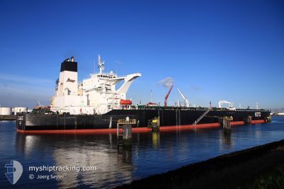
AL JABRIYAH II
Crude Oil Tanker
Current Trip
| Time Travelled | --- |
|---|---|
| Remaining Time | 23 h, 1 mins |
| Distance Travelled | 11033.69 nm |
| Remaining Distance | 358.63 nm |
| AVG Speed | 11.9 Knots |
| MAX Speed | 11.9 Knots |
| AVG Wind | 8.9 knots |
| MAX Wind | 28 knots |
| MIN Temp | 10.8°C / 51.44°F |
| MAX Temp | 30.2°C / 86.36°F |
| Draught | 16.5 m |
| Position Received | 14 h, 37 m ago |
Current Position
| Longitude | 50.12634° |
|---|---|
| Latitude | 26.99692° |
| Status | Under way using engine |
| Speed | 5.5 Knots |
| Course | 72.6° |
| Area | Persian Gulf |
| Station | T-AIS |
| Position Received | 14 h, 37 m ago |
Info
Information
The current position of AL JABRIYAH II is in Persian Gulf with coordinates 26.99692° / 50.12634° as reported on 2025-12-15 06:00 by AIS to our vessel tracker app. The vessel's current speed is 5.5 Knots and is heading at the port of FUJAIRAH. The estimated time of arrival as calculated by MyShipTracking vessel tracking app is 2025-12-16 23:39 LT
The vessel AL JABRIYAH II (IMO: 9329708, MMSI: 447163000) is a Crude Oil Tanker that was built in 2007 ( 18 years old ). It's sailing under the flag of [KW] Kuwait.
In this page you can find informations about the vessels current position, last detected port calls, and current voyage information. If the vessels is not in coverage by AIS you will find the latest position.
The current position of AL JABRIYAH II is detected by our AIS receivers and we are not responsible for the reliability of the data. The last position was recorded while the vessel was in Coverage by the Ais receivers of our vessel tracking app.
The current draught of AL JABRIYAH II as reported by AIS is 16.5 meters
Weather
| Temperature | 24°C / 75.2°F |
|---|---|
| Wind Speed | 13 knots |
| Direction | 63° ENE |
| Pressure | 1013.5 hPa |
| Humidity | 63.6 % |
| Cloud Coverage | 100 % |
Featured Company
Last Port Calls
Most Visited Ports (Last year)
| Port | Arrivals | |
|---|---|---|
| 1 | ||
| 1 | ||
| 1 | ||
| 1 |
Last Trips
| Origin | Departure | Destination | Arrival | Distance |
|---|
Events
| Time | Event | Details | Position / Dest | Info |
|---|---|---|---|---|
| 2025-12-15 06:05 | Status Changed | Default Under way using engine |
27.00209 / 50.13489
SARTA-AEFJR
|
Speed: 5.5 kn Course: 72.6° |
| 2025-12-15 06:00 | OUT of Coverage |
26.99692 / 50.12634
Persian Gulf
|
Speed: 5.5 kn Course: 72.6° |
|
| 2025-12-15 05:47 | START Moving |
26.99251 / 50.11022
SARTA-AEFJR
|
Speed: 3.2 kn Course: 75° |
|
| 2025-12-15 05:40 | Status Changed | Under way using engine Default |
26.99031 / 50.10542
SARTA-AEFJR
|
Speed: 1.2 kn Course: 33° |
| 2025-12-15 05:33 | Status Changed | Default Under way using engine |
26.98764 / 50.10512
SARTA-AEFJR
|
Speed: 1.1 kn Course: 32° |
| 2025-12-15 05:27 | Status Changed | Under way using engine Default |
26.98706 / 50.10634
SARTA-AEFJR
|
Speed: 0.6 kn Course: 35° |
| 2025-12-15 05:13 | Status Changed | Default Under way using engine |
26.98566 / 50.10854
SARTA-AEFJR
|
Speed: 0.5 kn Course: 39° |
| 2025-12-15 05:07 | Status Changed | Under way using engine Default |
26.98502 / 50.10923
SARTA-AEFJR
|
Speed: 0.4 kn Course: 44° |
| 2025-12-15 04:43 | Status Changed | Default Under way using engine |
26.98274 / 50.11111
SARTA-AEFJR
|
Speed: 0.5 kn Course: 63° |
| 2025-12-15 04:39 | Status Changed | Under way using engine Default |
26.98246 / 50.11187
SARTA-AEFJR
|
Speed: 0.6 kn Course: 63° |