

Not available

Current Trip
| Trip Time | 77 days |
|---|---|
| Trip Distance | 7454.16 nm |
| AVG Speed | 13.1 Knots |
| MAX Speed | 18.1 Knots |
| Draught | 0 m |
| AVG Wind | 15.2 knots |
| MAX Wind | 32.9 knots |
| MIN Temp | 5°C / 41°F |
| MAX Temp | 31.2°C / 88.16°F |
| Position Received | 5 d ago |
Current Position
| Longitude | -121.65772° |
|---|---|
| Latitude | 38.19167° |
| Status | Under way using engine |
| Speed | 16.9 Knots |
| Course | 16.2° |
| Area | North Pacific Ocean |
| Station | T-AIS |
| Position Received | 5 d ago |
Information
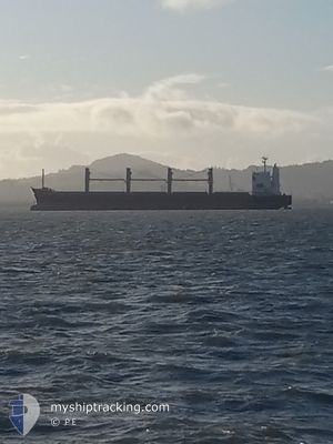
The current position of
The vessel
In this page you can find informations about the vessels current position, last detected port calls, and current voyage information. If the vessels is not in coverage by AIS you will find the latest position.
The current position of
Weather
| Temperature | 35.3°C / 95.54°F |
|---|---|
| Wind Speed | 8 knots |
| Direction | 225° SW |
| Pressure | 1010.6 hPa |
| Humidity | 18.2 % |
| Cloud Coverage | 2 % |


Featured Company
Last Port Calls
| Port | Arrival | Departure | Time In Port |
|---|---|---|---|
| 2025-06-02 11:56 |
Last Trips
| Origin | Departure | Destination | Arrival | Distance | |
|---|---|---|---|---|---|
| 2025-03-17 14:13 | 2025-06-02 11:56 | 7454.16 nm |
Events
| Time | Event | Details | Position / Dest | Info |
|---|---|---|---|---|
| 2025-06-02 19:04 | STOP Moving |
38.56405 / -121.54952
[US] SACRAMENTO
|
Speed: Course: 129° |
|
| 2025-06-02 18:56 | PORT ARRIVAL |
|
38.56376 / -121.54974
[US] SACRAMENTO
|
Speed: 0.9 kn Course: 96° |
| 2025-06-02 16:13 | Status Changed | Default Under way using engine |
38.34432 / -121.64337
|
Speed: 16.9 kn Course: 16.2° |
| 2025-06-02 15:54 | OUT of Coverage |
38.19167 / -121.65772
North Pacific Ocean
|
Speed: 16.9 kn Course: 16.2° |
|
| 2025-06-02 14:58 | Draught Changed | 0 8.9 |
38.19167 / -121.65772
|
Speed: 16.9 kn Course: 16.2° |
| 2025-06-02 14:57 | Status Changed | Under way using engine Default |
38.19167 / -121.65772
US SAC
|
Speed: 7.1 kn Course: 33° |
| 2025-06-02 14:49 | IN Coverage |
38.19167 / -121.65772
North Pacific Ocean
|
Speed: 16.9 kn Course: 16.2° |
|
| 2025-06-02 11:09 | Status Changed | Default Under way using engine |
38.06255 / -122.25358
US SAC
|
Speed: 10.3 kn Course: 78.7° |
| 2025-06-02 11:03 | OUT of Coverage |
38.06022 / -122.27207
North Pacific Ocean
|
Speed: 10.3 kn Course: 78.7° |
|
| 2025-06-02 09:12 | START Moving | 1.29 nm, South of TREASURE ISLAND |
37.79554 / -122.36100
US SAC
|
Speed: 5.1 kn Course: 314.8° |