

TAUCHER10
Dredging or underwater ops

Current Trip
KIEL_
| Time Travelled | 54 days |
|---|---|
| Remaining Time | --- |
| Distance Travelled | 5.44 nm |
| Remaining Distance | --- |
| AVG Speed | 3.5 Knots |
| MAX Speed | 4 Knots |
| AVG Wind | 9.1 knots |
| MAX Wind | 15.1 knots |
| MIN Temp | 5.1°C / 41.18°F |
| MAX Temp | 18.2°C / 64.76°F |
| Draught | 0 m |
| Position Received | 1 h, 34 m ago |
Current Position
| Longitude | 9.04309° |
|---|---|
| Latitude | 53.81727° |
| Status | Under way using engine |
| Speed | |
| Course | --- |
| Area | North Sea |
| Station | T-AIS |
| Position Received | 1 h, 34 m ago |
Information
The current position of TAUCHER10 is in North Sea with coordinates 53.81727° / 9.04309° as reported on 2025-05-23 14:01 by AIS to our vessel tracker app. The vessel's current speed is 0 Knots
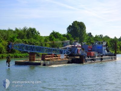
The vessel TAUCHER10 (MMSI: 211630850) is a Dredging or underwater ops It's sailing under the flag of [DE] Germany.
In this page you can find informations about the vessels current position, last detected port calls, and current voyage information. If the vessels is not in coverage by AIS you will find the latest position.
The current position of TAUCHER10 is detected by our AIS receivers and we are not responsible for the reliability of the data. The last position was recorded while the vessel was in Coverage by the Ais receivers of our vessel tracking app.
Weather
| Temperature | 12.2°C / 53.96°F |
|---|---|
| Wind Speed | 14 knots |
| Direction | 284° WNW |
| Pressure | 1012.6 hPa |
| Humidity | 62 % |
| Cloud Coverage | 7 % |


Featured Company
Most Visited Ports (Last year)
| Port | Arrivals | |
|---|---|---|
| 22 | ||
| 7 | ||
| 2 | ||
| 1 |
Last Trips
| Origin | Departure | Destination | Arrival | Distance |
|---|
Events
| Time | Event | Details | Position / Dest | Info |
|---|---|---|---|---|
| 2025-05-23 14:01 | OUT of Coverage |
53.81727 / 9.04309
North Sea
|
Speed: Course: 511° |
|
| 2025-05-23 12:39 | IN Coverage |
53.81728 / 9.04309
North Sea
|
Speed: Course: 511° |
|
| 2025-05-23 05:38 | OUT of Coverage |
53.81729 / 9.04308
North Sea
|
Speed: Course: 511° |
|
| 2025-05-23 03:29 | IN Coverage |
53.81725 / 9.04306
North Sea
|
Speed: Course: 511° |
|
| 2025-05-23 01:44 | OUT of Coverage |
53.81729 / 9.04307
North Sea
|
Speed: Course: 511° |
|
| 2025-05-23 01:44 | IN Coverage |
53.81729 / 9.04307
North Sea
|
Speed: Course: 511° |
|
| 2025-05-22 20:40 | OUT of Coverage |
53.81728 / 9.04308
North Sea
|
Speed: Course: 511° |
|
| 2025-05-22 19:01 | IN Coverage |
53.81728 / 9.04307
North Sea
|
Speed: Course: 511° |
|
| 2025-05-22 17:38 | OUT of Coverage |
53.81728 / 9.04309
North Sea
|
Speed: Course: 511° |
|
| 2025-05-22 12:00 | IN Coverage |
53.81726 / 9.04311
North Sea
|
Speed: Course: 511° |