
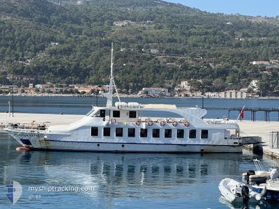
MEANDER EXPRESS
Passengers Ship
Current Trip
| Trip Time | 3 h, 9 mins |
|---|---|
| Trip Distance | 46.80 nm |
| AVG Speed | 15 Knots |
| MAX Speed | 15.9 Knots |
| Dybgang | 3 m |
| AVG Wind | 6 knots |
| MAX Wind | 7.6 knots |
| MIN Temp | 13°C / 55.4°F |
| MAX Temp | 16.6°C / 61.88°F |
| Position Modtaget | 4 d siden |
Current Position
| Longitude | 27.16195° |
|---|---|
| Latitude | 37.79863° |
| Status | Under way using engine |
| Fart | 14.9 Knots |
| Kurs | 38.2° |
| Område | Aegean Sea |
| Station | T-AIS |
| Position Modtaget | 4 d siden |
Info
Information
The current position of MEANDER EXPRESS is in Aegean Sea with coordinates 37.79863° / 27.16195° as reported on 2025-03-10 14:49 by AIS to our vessel tracker app. The vessel's current speed is 14.9 Knots and is currently inside the port of KUSADASI.
The vessel MEANDER EXPRESS (IMO: 9452426, MMSI: 271001059) is a Passengers Ship that was built in 2007 ( 18 år gamle ). It's sailing under the flag of [TR] Turkey.
In this page you can find informations about the vessels current position, last detected port calls, and current voyage information. If the vessels is not in coverage by AIS you will find the latest position.
The current position of MEANDER EXPRESS is detected by our AIS receivers and we are not responsible for the reliability of the data. The last position was recorded while the vessel was in Coverage by the Ais receivers of our vessel tracking app.
The current draught of MEANDER EXPRESS as reported by AIS is 3 meters
Weather
| Temperature | 15.5°C / 59.9°F |
|---|---|
| Wind Speed | 6 knots |
| Direction | 108° ESE |
| Pressure | 1018 hPa |
| Humidity | 58.4 % |
| Cloud Coverage | 34 % |
Featured Company
Most Visited Ports (Last year)
| Port | Arrivals | |
|---|---|---|
| 124 | ||
| 113 | ||
| 7 | ||
| 6 | ||
| 2 |
Events
| Tid | Hændelsen | Detaljer | Position / Dest | Info |
|---|---|---|---|---|
| 2025-03-10 15:12 | Skibe i havn |
|
37.86243 / 27.24959
[TR] KUSADASI
|
Fart: 14.9 kn Kurs: 38.2° |
| 2025-03-10 14:49 | Ændre havområde | Turkish part of the Aegean Sea Greek part of the Aegean Sea |
37.79863 / 27.16195
Aegean Sea
|
Fart: 14.9 kn Kurs: 38.2° |
| 2025-03-10 14:49 | Udenfor Dækning |
37.79863 / 27.16195
Aegean Sea
|
Fart: 14.9 kn Kurs: 38.2° |
|
| 2025-03-10 12:03 | START Sejllads | 0.74 nm, East of PATMOS |
37.32330 / 26.56185
GRPM
|
Fart: 11.4 kn Kurs: 81° |
| 2025-03-10 12:03 | Afsejlet fra sidste havn |
|
37.32330 / 26.56185
GRPM
|
Fart: 2.9 kn Kurs: 511° |
| 2025-03-10 11:58 | Indenfor Dækning |
37.32404 / 26.54530
Aegean Sea
[GR] PATMOS
|
Fart: 2.9 kn Kurs: 125° |
|
| 2025-03-10 07:23 | Skibe i havn |
|
37.32406 / 26.54505
[GR] PATMOS
|
Fart: 12.1 kn Kurs: 264° |
| 2025-03-10 07:19 | Status er ændret | Default Under way using engine |
37.32144 / 26.56111
GRPM
|
Fart: 12 kn Kurs: 265.3° |
| 2025-03-10 07:19 | Udenfor Dækning |
37.32166 / 26.56412
Aegean Sea
|
Fart: 12 kn Kurs: 265.3° |
|
| 2025-03-10 04:42 | Fundet i havområde | Greek part of the Aegean Sea |
37.76684 / 27.12180
Aegean Sea
|
Fart: 14.5 kn Kurs: 215.5° |