
SALINAS
Cargo
Current Trip
| Time Travelled | 13 days |
|---|---|
| Remaining Time | --- |
| Distance Travelled | 3496.55 nm |
| Remaining Distance | --- |
| AVG Speed | 12.6 Noeuds |
| MAX Speed | 15.6 Noeuds |
| AVG Wind | 14.6 knots |
| MAX Wind | 33.9 knots |
| MIN Temp | -3.6°C / 25.52°F |
| MAX Temp | 8.8°C / 47.84°F |
| Tirant d eau | 8 m |
| Position reçue | 11 d depuis |
Current Position
| Longitude | 140.97959° |
|---|---|
| Latitude | 35.52591° |
| Etat | Under way using engine |
| Vitesse | 14.4 Noeuds |
| Parcours | 35.5° |
| Zone | North Pacific Ocean |
| Station | T-AIS |
| Position reçue | 11 d depuis |
Info
Information
The current position of SALINAS is in North Pacific Ocean with coordinates 35.52591° / 140.97959° as reported on 2025-02-19 03:25 by AIS to our vessel tracker app. The vessel's current speed is 14.4 Noeuds and is heading at the port of MAZATLAN. The estimated time of arrival as calculated by MyShipTracking vessel tracking app is 2025-03-09 12:30 LT
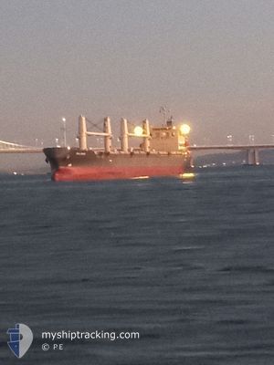
The vessel SALINAS (IMO: 9805324, MMSI: 371518000) is a Cargo It's sailing under the flag of [PA] Panama.
In this page you can find informations about the vessels current position, last detected port calls, and current voyage information. If the vessels is not in coverage by AIS you will find the latest position.
The current position of SALINAS is detected by our AIS receivers and we are not responsible for the reliability of the data. The last position was recorded while the vessel was in Coverage by the Ais receivers of our vessel tracking app.
The current draught of SALINAS as reported by AIS is 8 meters
Weather
| Temperature | 4.1°C / 39.38°F |
|---|---|
| Wind Speed | 18 knots |
| Direction | 128° SE |
| Pressure | 998.5 hPa |
| Humidity | 95 % |
| Cloud Coverage | 100 % |
Featured Company
Last Port Calls
| Port | Arrival | Departure | Time In Port |
|---|---|---|---|
| 2025-02-16 07:37 | 2025-02-17 06:37 | 22 h | |
| 2025-02-03 22:53 | 2025-02-06 05:37 | 2 d | |
| 2025-01-27 20:01 | 2025-01-31 09:13 | 3 d | |
| 2025-01-24 21:21 | 2025-01-25 21:21 | 1 d | |
| 2025-01-08 22:18 | 2025-01-12 01:32 | 3 d | |
| 2025-01-06 08:17 |
Most Visited Ports (Last year)
| Port | Arrivals | |
|---|---|---|
| 3 | ||
| 2 | ||
| 2 | ||
| 2 | ||
| 2 | ||
| 2 |
Last Trips
| Origin | Departure | Destination | Arrival | Distance | |
|---|---|---|---|---|---|
| 2025-02-06 14:37 | 2025-02-16 16:37 | 571.42 nm | |||
| 2025-01-31 18:13 | 2025-02-04 07:53 | 393.03 nm | |||
| 2025-01-26 06:21 | 2025-01-28 05:01 | 506.10 nm | |||
| 2025-01-12 10:32 | 2025-01-25 06:21 | 1126.33 nm | |||
| 2025-01-06 17:17 | 2025-01-09 07:18 | 578.39 nm |
Events
| Heure | Evenement | Détails | Position/ Destination | Info |
|---|---|---|---|---|
| 2025-03-01 07:05 | Démarrage |
54.41689 / -169.94807
MX MZT
|
Vitesse: 3.4 kn Parcours: 126° |
|
| 2025-02-28 22:06 | Arret |
54.43628 / -170.00336
MX MZT
|
Vitesse: 0.1 kn Parcours: 39° |
|
| 2025-02-28 19:38 | Démarrage |
54.27071 / -169.85928
MX MZT
|
Vitesse: 5.3 kn Parcours: 324° |
|
| 2025-02-28 03:15 | Arret |
54.45818 / -169.98999
MX MZT
|
Vitesse: 0.1 kn Parcours: 339° |
|
| 2025-02-27 12:47 | Démarrage |
54.28653 / -169.82013
MX MZT
|
Vitesse: 5.9 kn Parcours: 328° |
|
| 2025-02-26 16:50 | Arret |
54.45763 / -169.95511
MX MZT
|
Vitesse: 0.2 kn Parcours: 295° |