
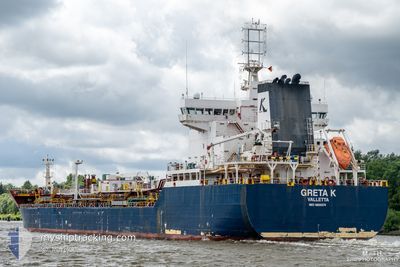
GRETA K
Tanker
Current Trip
| Time Travelled | 5 days |
|---|---|
| Remaining Time | --- |
| Distance Travelled | 245.49 nm |
| Remaining Distance | --- |
| AVG Speed | 10.3 Knopen |
| MAX Speed | 11.1 Knopen |
| AVG Wind | 9.8 knots |
| MAX Wind | 15.8 knots |
| MIN Temp | 12.1°C / 53.78°F |
| MAX Temp | 17.6°C / 63.68°F |
| Diepgang | 5.9 M |
| Positie ontvangen | 19 d geleden |
Current Position
| Lengtegraad | 9.96694° |
|---|---|
| Breedtegraat | 41.88287° |
| Status | Under way using engine |
| Snelheid | 11.1 Knopen |
| Koers | 165.9° |
| Gebied | Tyrrhenian Sea |
| Station | T-AIS |
| Positie ontvangen | 19 d geleden |
Info
Information
The current position of GRETA K is in Tyrrhenian Sea with coordinates 41.88287° / 9.96694° as reported on 2025-01-21 05:49 by AIS to our vessel tracker app. The vessel's current speed is 11.1 Knopen and is heading at the port of AZ ZAWIYAH. The estimated time of arrival as calculated by MyShipTracking vessel tracking app is 2025-01-23 15:30 LT
The vessel GRETA K (IMO: 9800374, MMSI: 249711000) is a Tanker It's sailing under the flag of [MT] Malta.
In this page you can find informations about the vessels current position, last detected port calls, and current voyage information. If the vessels is not in coverage by AIS you will find the latest position.
The current position of GRETA K is detected by our AIS receivers and we are not responsible for the reliability of the data. The last position was recorded while the vessel was in Coverage by the Ais receivers of our vessel tracking app.
The current draught of GRETA K as reported by AIS is 5.9 meters
Weather
| Temperature | 15.7°C / 60.26°F |
|---|---|
| Wind Speed | 16 knots |
| Direction | 25° NNE |
| Pressure | 1023.6 hPa |
| Humidity | 47.7 % |
| Cloud Coverage | 4 % |
Featured Company
Events
| Tijd | Evenement | Details | Positie / Bestemming | Info |
|---|---|---|---|---|
| 2025-02-05 14:09 | Stop beweging | 4.28 nm, West of BENGHAZI |
32.11659 / 19.95498
LY ZAW
|
Snelheid: 0.2 kn Koers: 335° |
| 2025-02-04 13:59 | Start beweging | 1.42 nm, North East of MISURATA |
32.37300 / 15.25904
LY ZAW
|
Snelheid: 9.7 kn Koers: 85° |
| 2025-02-04 13:45 | Vertrekhaven |
|
32.37300 / 15.25904
LY ZAW
|
Snelheid: 0.1 kn Koers: 359° |
| 2025-02-03 11:58 | Stop beweging |
32.36455 / 15.21488
[LY] MISURATA
|
Snelheid: 0.1 kn Koers: 2° |
|
| 2025-02-03 11:11 | Aankomsthaven |
|
32.37178 / 15.22892
[LY] MISURATA
|
Snelheid: 4.4 kn Koers: 264° |
| 2025-02-03 10:23 | Start beweging | 3.44 nm, East of MISURATA |
32.37194 / 15.30275
LY ZAW
|
Snelheid: 5 kn Koers: 276° |
| 2025-01-31 02:18 | Stop beweging | 4.25 nm, East of MISURATA |
32.37072 / 15.31934
LY ZAW
|
Snelheid: 0.3 kn Koers: 147° |