
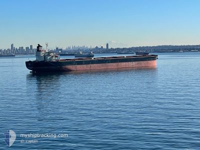
PANDA
Cargo
Current Trip
| Time Travelled | 13 days |
|---|---|
| Remaining Time | 1 day |
| Distance Travelled | 3783.99 nm |
| Remaining Distance | 559.53 nm |
| AVG Speed | 11.3 Knopen |
| MAX Speed | 15.3 Knopen |
| AVG Wind | 11.3 knots |
| MAX Wind | 29.3 knots |
| MIN Temp | 5.2°C / 41.36°F |
| MAX Temp | 29°C / 84.2°F |
| Diepgang | 14 M |
| Positie ontvangen | 3 d geleden |
Current Position
| Lengtegraad | -99.88668° |
|---|---|
| Breedtegraat | 16.02341° |
| Status | Under way using engine |
| Snelheid | 11.4 Knopen |
| Koers | 113.5° |
| Gebied | North Pacific Ocean |
| Station | T-AIS |
| Positie ontvangen | 3 d geleden |
Info
Information
The current position of PANDA is in North Pacific Ocean with coordinates 16.02341° / -99.88668° as reported on 2025-03-10 02:31 by AIS to our vessel tracker app. The vessel's current speed is 11.4 Knopen and is heading at the port of BALBOA. The estimated time of arrival as calculated by MyShipTracking vessel tracking app is 2025-03-15 00:15 LT
The vessel PANDA (MMSI: 538009966) is a Cargo It's sailing under the flag of [MH] Marshall Is.
In this page you can find informations about the vessels current position, last detected port calls, and current voyage information. If the vessels is not in coverage by AIS you will find the latest position.
The current position of PANDA is detected by our AIS receivers and we are not responsible for the reliability of the data. The last position was recorded while the vessel was in Coverage by the Ais receivers of our vessel tracking app.
The current draught of PANDA as reported by AIS is 14 meters
Weather
| Temperature | 27.2°C / 80.96°F |
|---|---|
| Wind Speed | 5 knots |
| Direction | 285° WNW |
| Pressure | 1010.2 hPa |
| Humidity | 78.1 % |
| Cloud Coverage | 61 % |
Featured Company
Last Port Calls
| Port | Arrival | Departure | Time In Port |
|---|---|---|---|
| 2025-02-24 07:45 | 2025-02-27 02:25 | 2 d | |
| 2025-02-16 20:13 | 2025-02-18 01:00 | 1 d | |
| 2025-02-05 16:46 | 2025-02-07 09:20 | 1 d | |
| 2025-01-03 03:16 |
Events
| Tijd | Evenement | Details | Positie / Bestemming | Info |
|---|---|---|---|---|
| 2025-03-10 02:39 | Status Changed | Default Under way using engine |
16.01257 / -99.86309
BALBOA PANAMA
|
Snelheid: 11.4 kn Koers: 113.5° |
| 2025-03-10 02:31 | Status Changed | Under way using engine Default |
16.02341 / -99.88668
BALBOA PANAMA
|
Snelheid: 11.5 kn Koers: 115° |
| 2025-03-10 02:31 | Buitenbereik |
16.02341 / -99.88668
North Pacific Ocean
|
Snelheid: 11.4 kn Koers: 113.5° |
|
| 2025-03-10 02:25 | Status Changed | Default Under way using engine |
16.03197 / -99.90577
BALBOA PANAMA
|
Snelheid: 11.6 kn Koers: 116.9° |
| 2025-03-10 02:01 | Status Changed | Under way using engine Default |
16.06606 / -99.97889
BALBOA PANAMA
|
Snelheid: 11.6 kn Koers: 118° |
| 2025-03-10 01:48 | Binnenbereik |
16.06606 / -99.97889
North Pacific Ocean
|
Snelheid: 11.6 kn Koers: 116.9° |
|
| 2025-03-09 19:50 | Status Changed | Default Under way using engine |
16.62561 / -101.10537
BALBOA PANAMA
|
Snelheid: 11.9 kn Koers: 119.7° |
| 2025-03-09 19:40 | Buitenbereik |
16.64147 / -101.13498
North Pacific Ocean
|
Snelheid: 11.9 kn Koers: 119.7° |
|
| 2025-03-09 19:35 | Status Changed | Under way using engine Default |
16.64933 / -101.14969
BALBOA PANAMA
|
Snelheid: 11.8 kn Koers: 118° |
| 2025-03-09 19:30 | Status Changed | Default Under way using engine |
16.65679 / -101.16389
BALBOA PANAMA
|
Snelheid: 11.8 kn Koers: 119° |