
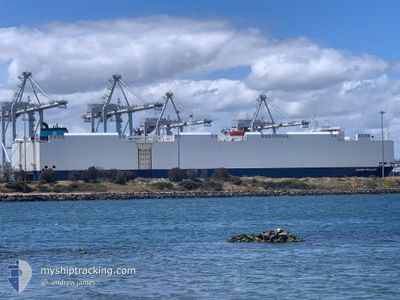
VIKING PASSAMA
Vehicles Carrier
Current Trip
| Time Travelled | 12 days |
|---|---|
| Remaining Time | 2 h, 24 mins |
| Distance Travelled | 4103.12 морская миля |
| Remaining Distance | 56.23 морская миля |
| AVG Speed | 13.9 Узлы |
| MAX Speed | 16.7 Узлы |
| AVG Wind | 11.7 knots |
| MAX Wind | 24 knots |
| MIN Temp | 8.4°C / 47.12°F |
| MAX Temp | 29.5°C / 85.1°F |
| Осадка | 8.8 м |
| Позиция Получена | Сейчас |
Current Position
| Долгота | 153.37620° |
|---|---|
| Широта | -26.66357° |
| Статус | Under way using engine |
| Скорость | 0.6 Узлы |
| Курс | 39° |
| Район | Coral Sea |
| Станция | T-AIS |
| Позиция Получена | Сейчас |
Info
Information
The current position of VIKING PASSAMA is in Coral Sea with coordinates -26.66357° / 153.37620° as reported on 2025-03-15 01:09 by AIS to our vessel tracker app. The vessel's current speed is 0.6 Узлы and is heading at the port of BRISBANE. The estimated time of arrival as calculated by MyShipTracking vessel tracking app is 2025-03-15 13:34 LT
The vessel VIKING PASSAMA (IMO: 9491874, MMSI: 538009816) is a Vehicles Carrier that was built in 2012 ( 13 лет ). It's sailing under the flag of [MH] Marshall Is.
In this page you can find informations about the vessels current position, last detected port calls, and current voyage information. If the vessels is not in coverage by AIS you will find the latest position.
The current position of VIKING PASSAMA is detected by our AIS receivers and we are not responsible for the reliability of the data. The last position was recorded while the vessel was in Coverage by the Ais receivers of our vessel tracking app.
The current draught of VIKING PASSAMA as reported by AIS is 8.8 meters
Weather
| Temperature | 25.1°C / 77.18°F |
|---|---|
| Wind Speed | 13 knots |
| Direction | 130° SE |
| Pressure | 1020.7 hPa |
| Humidity | 66.5 % |
| Cloud Coverage | 78 % |
Featured Company
Last Port Calls
| Port | Arrival | Departure | Time In Port |
|---|---|---|---|
| 2025-03-02 01:53 | 2025-03-03 00:57 | 23 h | |
| 2025-02-08 12:01 | 2025-02-10 02:48 | 1 d | |
| 2025-02-05 03:56 | 2025-02-06 23:57 | 1 d | |
| 2025-01-29 05:15 | 2025-01-30 01:16 | 20 h | |
| 2025-01-11 12:58 | 2025-01-11 22:39 | 9 h | |
| 2025-01-09 08:02 | 2025-01-09 20:25 | 12 h |
Last Trips
| Origin | Departure | Destination | Arrival | Distance | |
|---|---|---|---|---|---|
| 2025-02-10 02:48 | 2025-03-02 01:53 | 5411.85 морская миля | |||
| 2025-02-06 23:57 | 2025-02-08 12:01 | 560.81 морская миля | |||
| 2025-01-30 01:16 | 2025-02-05 03:56 | 585.59 морская миля | |||
| 2025-01-11 22:39 | 2025-01-29 05:15 | 4430.02 морская миля | |||
| 2025-01-09 20:25 | 2025-01-11 12:58 | 528.05 морская миля | |||
| 2024-12-22 11:32 | 2025-01-09 08:02 | 6228.06 морская миля |
Events
| Время | Событие | Детали | Позиция / Направление | Информация |
|---|---|---|---|---|
| 2025-03-14 22:46 | Осадка изменилась | 8.8 7.7 |
-26.59044 / 153.28879
CN SHA > AU BNE
|
Скорость: 14.1 kn Курс: 170.8° |
| 2025-03-14 22:46 | Пункт назначения изменился | CN SHA > AU BNE AU MEL > JP YOK |
-26.59044 / 153.28879
CN SHA > AU BNE
|
Скорость: 14.1 kn Курс: 170.8° |
| 2025-03-14 22:46 | ETA изменился | 2025/03/14 23:00 2025/02/20 20:00 |
-26.59044 / 153.28879
CN SHA > AU BNE
|
Скорость: 14.1 kn Курс: 170.8° |
| 2025-03-14 21:59 | Статус изменился | Under way using engine Default |
-26.41513 / 153.35177
AU MEL > JP YOK
|
Скорость: 14.5 kn Курс: 205° |
| 2025-03-14 21:45 | В покрытии |
-26.42239 / 153.34802
Coral Sea
|
Скорость: 14.4 kn Курс: 203.6° |