
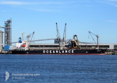
OCEAN ULTRA
General Cargo
Current Trip
US GRY
| Time Travelled | 3 days |
|---|---|
| Remaining Time | --- |
| Distance Travelled | 22.87 nm |
| Remaining Distance | --- |
| AVG Speed | 9.2 Knots |
| MAX Speed | 11.5 Knots |
| AVG Wind | 6.1 knots |
| MAX Wind | 15 knots |
| MIN Temp | -1.2°C / 29.84°F |
| MAX Temp | 25.7°C / 78.26°F |
| Draught | 5.7 m |
| Position Received | 3 d ago |
Current Position
| Longitude | -90.58026° |
|---|---|
| Latitude | 30.05193° |
| Status | Under way using engine |
| Speed | 5.6 Knots |
| Course | 272.3° |
| Area | Caribbean Sea |
| Station | T-AIS |
| Position Received | 3 d ago |
Info
Information
The current position of OCEAN ULTRA is in Caribbean Sea with coordinates 30.05193° / -90.58026° as reported on 2025-12-12 05:24 by AIS to our vessel tracker app. The vessel's current speed is 5.6 Knots
The vessel OCEAN ULTRA (IMO: 9625437, MMSI: 373875000) is a General Cargo that was built in 2012 ( 13 years old ). It's sailing under the flag of [PA] Panama.
In this page you can find informations about the vessels current position, last detected port calls, and current voyage information. If the vessels is not in coverage by AIS you will find the latest position.
The current position of OCEAN ULTRA is detected by our AIS receivers and we are not responsible for the reliability of the data. The last position was recorded while the vessel was in Coverage by the Ais receivers of our vessel tracking app.
The current draught of OCEAN ULTRA as reported by AIS is 5.7 meters
Weather
| Temperature | 3.1°C / 37.58°F |
|---|---|
| Wind Speed | 2 knots |
| Direction | 143° SE |
| Pressure | 1028.2 hPa |
| Humidity | 49.8 % |
| Cloud Coverage | --- |
Featured Company
Last Port Calls
| Port | Arrival | Departure | Time In Port |
|---|---|---|---|
| 2025-12-10 20:06 | 2025-12-11 22:07 | 1 d | |
| 2025-11-10 11:28 | 2025-11-11 21:11 | 1 d | |
| 2025-11-01 16:34 | 2025-11-04 20:26 | 3 d |
Events
| Time | Event | Details | Position / Dest | Info |
|---|---|---|---|---|
| 2025-12-12 06:33 | STOP Moving | 1.71 nm, North East of LUTCHER |
30.05116 / -90.66774
US GRY
|
Speed: Course: 248° |
| 2025-12-12 05:31 | Status Changed | Default Under way using engine |
30.05003 / -90.59006
US GRY
|
Speed: 5.6 kn Course: 272.3° |
| 2025-12-12 05:24 | Status Changed | Under way using engine Default |
30.05193 / -90.58026
US GRY
|
Speed: 6 kn Course: 277° |
| 2025-12-12 05:24 | OUT of Coverage |
30.05193 / -90.58026
Caribbean Sea
|
Speed: 5.6 kn Course: 272.3° |
|
| 2025-12-12 05:15 | IN Coverage |
30.05193 / -90.58026
Caribbean Sea
|
Speed: 5.6 kn Course: 272.3° |
|
| 2025-12-12 04:07 | PORT DEPARTURE |
|
29.95813 / -90.39408
US GRY
|
Speed: 11.4 kn Course: 309° |
| 2025-12-12 03:27 | Status Changed | Default Under way using engine |
29.96952 / -90.27491
[US] NEW ORLEANS
|
Speed: 11.2 kn Course: 283° |
| 2025-12-12 03:20 | OUT of Coverage |
29.97015 / -90.25266
Caribbean Sea
|
Speed: 11.2 kn Course: 283.9° |
|
| 2025-12-12 03:18 | Status Changed | Under way using engine Default |
29.96803 / -90.24524
[US] NEW ORLEANS
|
Speed: 11.3 kn Course: 316° |
| 2025-12-12 02:51 | Status Changed | Default Under way using engine |
29.93443 / -90.17973
[US] NEW ORLEANS
|
Speed: 10.1 kn Course: 247° |