
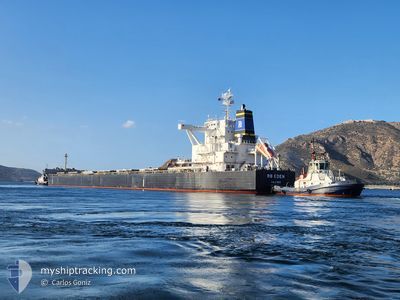
RB EDEN
Cargo
Current Trip
| Time Travelled | 11 days |
|---|---|
| Remaining Time | 9 days |
| Distance Travelled | 2700.29 nm |
| Remaining Distance | 2420.34 nm |
| AVG Speed | 10.2 Knots |
| MAX Speed | 12.3 Knots |
| AVG Wind | 12.2 knots |
| MAX Wind | 27.7 knots |
| MIN Temp | 18.3°C / 64.94°F |
| MAX Temp | 30°C / 86°F |
| Draught | 13.5 m |
| Position Received | 8 d ago |
Current Position
| Longitude | 152.98572° |
|---|---|
| Latitude | -32.44384° |
| Status | Under way using engine |
| Speed | 7.5 Knots |
| Course | 23° |
| Area | Tasman Sea |
| Station | T-AIS |
| Position Received | 8 d ago |
Info
Information
The current position of RB EDEN is in Tasman Sea with coordinates -32.44384° / 152.98572° as reported on 2025-02-03 22:19 by AIS to our vessel tracker app. The vessel's current speed is 7.5 Knots and is heading at the port of GWANGYANG. The estimated time of arrival as calculated by MyShipTracking vessel tracking app is 2025-02-21 12:57 LT
The vessel RB EDEN (IMO: 9765718, MMSI: 538006442) is a Cargo It's sailing under the flag of [MH] Marshall Is.
In this page you can find informations about the vessels current position, last detected port calls, and current voyage information. If the vessels is not in coverage by AIS you will find the latest position.
The current position of RB EDEN is detected by our AIS receivers and we are not responsible for the reliability of the data. The last position was recorded while the vessel was in Coverage by the Ais receivers of our vessel tracking app.
The current draught of RB EDEN as reported by AIS is 13.5 meters
Weather
| Temperature | 29.9°C / 85.82°F |
|---|---|
| Wind Speed | 11 knots |
| Direction | 48° NE |
| Pressure | 1008.7 hPa |
| Humidity | 68.3 % |
| Cloud Coverage | 1 % |
Featured Company
Last Port Calls
| Port | Arrival | Departure | Time In Port |
|---|---|---|---|
| 2025-01-30 19:56 | 2025-02-01 05:44 | 1 d | |
| 2025-01-06 10:37 | 2025-01-12 05:49 | 5 d |
Most Visited Ports (Last year)
| Port | Arrivals | |
|---|---|---|
| 2 | ||
| 1 | ||
| 1 | ||
| 1 | ||
| 1 | ||
| 1 |
Last Trips
| Origin | Departure | Destination | Arrival | Distance | |
|---|---|---|---|---|---|
| 2025-01-12 13:49 | 2025-01-31 06:56 | 5213.42 nm | |||
| 2024-11-04 03:34 | 2025-01-06 18:37 | 7987.31 nm |
Events
| Time | Event | Details | Position / Dest | Info |
|---|---|---|---|---|
| 2025-02-03 22:22 | Status Changed | Default Under way using engine |
-32.43818 / 152.98888
KR KAN
|
Speed: 7.5 kn Course: 23° |
| 2025-02-03 22:19 | OUT of Coverage |
-32.44384 / 152.98572
Tasman Sea
KR KAN
|
Speed: 7.5 kn Course: 23° |
|
| 2025-02-03 22:12 | Status Changed | Under way using engine Default |
-32.45748 / 152.97817
KR KAN
|
Speed: 7.4 kn Course: 21° |
| 2025-02-03 21:52 | Status Changed | Default Under way using engine |
-32.49595 / 152.95828
KR KAN
|
Speed: 7.5 kn Course: 19.3° |
| 2025-02-03 21:21 | Status Changed | Under way using engine Default |
-32.55426 / 152.93201
KR KAN
|
Speed: 7.4 kn Course: 18° |
| 2025-02-03 21:16 | Status Changed | Default Under way using engine |
-32.56485 / 152.92750
KR KAN
|
Speed: 7.4 kn Course: 19.5° |
| 2025-02-03 19:30 | Status Changed | Under way using engine Default |
-32.76341 / 152.83408
KR KAN
|
Speed: 7.4 kn Course: 25° |
| 2025-02-03 19:18 | Status Changed | Default Under way using engine |
-32.78614 / 152.82164
KR KAN
|
Speed: 7.4 kn Course: 20.4° |
| 2025-02-03 19:14 | Status Changed | Under way using engine Default |
-32.79323 / 152.81777
KR KAN
|
Speed: 7.4 kn Course: 23° |
| 2025-02-03 19:10 | Status Changed | Default Under way using engine |
-32.80048 / 152.81407
KR KAN
|
Speed: 7.4 kn Course: 25° |