
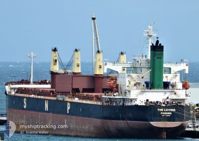
THE LOVING
Bulk Carrier
Current Trip
| Time Travelled | --- |
|---|---|
| Remaining Time | 7 h, 53 mins |
| Distance Travelled | 6843.70 nm |
| Remaining Distance | 116.67 nm |
| AVG Speed | 10.1 Knopen |
| MAX Speed | 15 Knopen |
| AVG Wind | 13 knots |
| MAX Wind | 33.8 knots |
| MIN Temp | -4.3°C / 24.26°F |
| MAX Temp | 28.9°C / 84.02°F |
| Diepgang | 12.1 M |
| Positie ontvangen | 9 d geleden |
Current Position
| Lengtegraad | 97.05490° |
|---|---|
| Breedtegraat | 7.74382° |
| Status | Under way using engine |
| Snelheid | 11.3 Knopen |
| Koers | 329.9° |
| Gebied | Andaman or Burma Sea |
| Station | T-AIS |
| Positie ontvangen | 9 d geleden |
Info
Information
The current position of THE LOVING is in Andaman or Burma Sea with coordinates 7.74382° / 97.05490° as reported on 2025-02-16 00:26 by AIS to our vessel tracker app. The vessel's current speed is 11.3 Knopen and is heading at the port of CHITTAGONG. The estimated time of arrival as calculated by MyShipTracking vessel tracking app is 2025-02-26 01:24 LT
The vessel THE LOVING (IMO: 9368883, MMSI: 373468000) is a Bulk Carrier that was built in 2007 ( 18 Jaar oud ). It's sailing under the flag of [PA] Panama.
In this page you can find informations about the vessels current position, last detected port calls, and current voyage information. If the vessels is not in coverage by AIS you will find the latest position.
The current position of THE LOVING is detected by our AIS receivers and we are not responsible for the reliability of the data. The last position was recorded while the vessel was in Coverage by the Ais receivers of our vessel tracking app.
The current draught of THE LOVING as reported by AIS is 12.1 meters
Weather
| Temperature | 25.9°C / 78.62°F |
|---|---|
| Wind Speed | 9 knots |
| Direction | 336° NNW |
| Pressure | 1017.5 hPa |
| Humidity | 66.4 % |
| Cloud Coverage | --- |
Featured Company
Most Visited Ports (Last year)
| Port | Arrivals | |
|---|---|---|
| 3 | ||
| 2 | ||
| 1 | ||
| 1 | ||
| 1 | ||
| 1 |
Events
| Tijd | Evenement | Details | Positie / Bestemming | Info |
|---|---|---|---|---|
| 2025-02-25 06:53 | Start beweging | 7.16 nm, North West of CHITTAGONG |
22.31348 / 91.71965
CHITTAGONG
|
Snelheid: 4.2 kn Koers: 223° |
| 2025-02-20 11:11 | Stop beweging | 7.42 nm, North West of CHITTAGONG |
22.31837 / 91.71817
CHITTAGONG
|
Snelheid: 0.2 kn Koers: 165° |
| 2025-02-20 07:25 | Start beweging | 21.37 nm, South of CHITTAGONG |
21.87723 / 91.80981
CHITTAGONG
|
Snelheid: 3.4 kn Koers: 292° |
| 2025-02-19 10:28 | Stop beweging | 21.42 nm, South of CHITTAGONG |
21.87638 / 91.81473
CHITTAGONG
|
Snelheid: 0.1 kn Koers: 214° |
| 2025-02-16 00:32 | Status Changed | Default Under way using engine |
7.76017 / 97.04494
CHITTAGONG
|
Snelheid: 11.3 kn Koers: 329.9° |
| 2025-02-16 00:26 | Status Changed | Under way using engine Default |
7.74382 / 97.05490
CHITTAGONG
|
Snelheid: 11.3 kn Koers: 331° |
| 2025-02-16 00:26 | Buitenbereik |
7.74382 / 97.05490
Andaman or Burma Sea
|
Snelheid: 11.3 kn Koers: 329.9° |
|
| 2025-02-16 00:18 | Status Changed | Default Under way using engine |
7.72245 / 97.06730
CHITTAGONG
|
Snelheid: 11.2 kn Koers: 326.9° |
| 2025-02-16 00:16 | Status Changed | Under way using engine Default |
7.71554 / 97.07119
CHITTAGONG
|
Snelheid: 11.2 kn Koers: 327° |
| 2025-02-16 00:05 | Status Changed | Default Under way using engine |
7.68680 / 97.08950
CHITTAGONG
|
Snelheid: 11.2 kn Koers: 327.9° |