

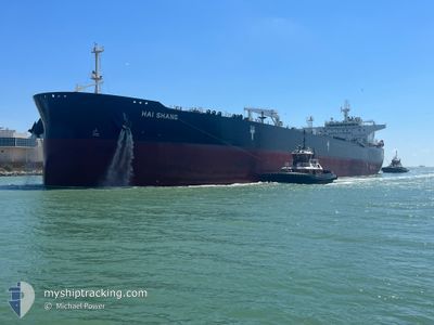
HAI SHANG
Tanker

Current Trip
BS FPO
| Time Travelled | 25 days |
|---|---|
| Remaining Time | --- |
| Distance Travelled | 2674.04 nm |
| Remaining Distance | --- |
| AVG Speed | 11.5 Knots |
| MAX Speed | 16.9 Knots |
| AVG Wind | 13.7 knots |
| MAX Wind | 35 knots |
| MIN Temp | -23.7°C / -10.66°F |
| MAX Temp | 25°C / 77°F |
| Draught | 9 m |
| Position Received | 23 h, 43 m ago |
Current Position
| Longitude | -78.79039° |
|---|---|
| Latitude | 26.51169° |
| Status | At anchor |
| Speed | |
| Course | 307° |
| Area | North Atlantic Ocean |
| Station | T-AIS |
| Position Received | 23 h, 43 m ago |
Information
The current position of HAI SHANG is in North Atlantic Ocean with coordinates 26.51169° / -78.79039° as reported on 2025-03-02 10:18 by AIS to our vessel tracker app. The vessel's current speed is 0 Knots
The vessel HAI SHANG (IMO: 9792852, MMSI: 636020804) is a Tanker It's sailing under the flag of [LR] Liberia.
In this page you can find informations about the vessels current position, last detected port calls, and current voyage information. If the vessels is not in coverage by AIS you will find the latest position.
The current position of HAI SHANG is detected by our AIS receivers and we are not responsible for the reliability of the data. The last position was recorded while the vessel was in Coverage by the Ais receivers of our vessel tracking app.
The current draught of HAI SHANG as reported by AIS is 9 meters
Weather
| Temperature | 21.5°C / 70.7°F |
|---|---|
| Wind Speed | 14 knots |
| Direction | 17° NNE |
| Pressure | 1015.9 hPa |
| Humidity | 62.6 % |
| Cloud Coverage | 100 % |


Featured Company
Most Visited Ports (Last year)
| Port | Arrivals | |
|---|---|---|
| 6 | ||
| 3 | ||
| 2 | ||
| 1 | ||
| 1 | ||
| 1 |
Events
| Time | Event | Details | Position / Dest | Info |
|---|---|---|---|---|
| 2025-03-02 10:21 | Status Changed | Default At anchor |
26.51168 / -78.79042
BS FPO
|
Speed: Course: 307° |
| 2025-03-02 10:18 | Status Changed | At anchor Default |
26.51169 / -78.79039
BS FPO
|
Speed: 0.1 kn Course: 305° |
| 2025-03-02 10:18 | OUT of Coverage |
26.51169 / -78.79039
North Atlantic Ocean
|
Speed: Course: 237° |
|
| 2025-03-02 10:09 | Status Changed | Default At anchor |
26.51184 / -78.79037
BS FPO
|
Speed: Course: 303° |
| 2025-03-02 10:03 | Status Changed | At anchor Default |
26.51192 / -78.79023
BS FPO
|
Speed: 0.2 kn Course: 285° |
| 2025-03-02 09:45 | Status Changed | Default At anchor |
26.51241 / -78.78985
BS FPO
|
Speed: Course: 288° |
| 2025-03-02 09:39 | Status Changed | At anchor Default |
26.51240 / -78.78991
BS FPO
|
Speed: Course: 291° |
| 2025-03-02 09:39 | IN Coverage |
26.51240 / -78.78991
North Atlantic Ocean
|
Speed: Course: 358° |
|
| 2025-03-02 08:21 | Status Changed | Default At anchor |
26.51370 / -78.78992
BS FPO
|
Speed: 0.1 kn Course: 251° |
| 2025-03-02 08:15 | OUT of Coverage |
26.51380 / -78.79000
North Atlantic Ocean
|
Speed: 0.1 kn Course: 148.3° |